
Friday, November 14, 2008
PRINCESS ANNE, MD – The University of Maryland Eastern Shore Geospatial Information Technology (GeoTech) Lab hosts GIS (Geographic Information System) Day on Tuesday, November 18, from 2 – 6 p.m. in the Richard A. Henson Center on the campus. Activities include booth presentations, equipment demonstrations and a map gallery, all of which focus on the use of GIS on the Eastern Shore.
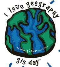
GIS Day is an international event celebrating geographic applications in over 80 countries. GIS users and vendors around the world are asked to open their doors to schools, businesses, and the general public to showcase GIS applications in education, research, the workplace and everyday life.
GIS Day exhibitors include UMES faculty, staff and students; Somerset County Planning and Zoning; Somerset County Emergency Services; Assateague Island National Seashore; the Maryland Department of Natural Resources; DiCarlo Precision Instruments; Spatial Systems; and Stephens Environmental. Guests are invited to observe GIS technology applications as they pertain to precision agriculture, county mapping, 911 mapping, flood analysis, municipal boundaries, natural resource mapping and analysis, forestry, water quality and land use and the use of GPS in GIS mapping.
This event is open and free to the public. For more information, contact Dana McNair at 410-651-7653 or Tracie Earl at 410-651-6383 or go to www.umes.edu/GIS and click on events.
###
Suzanne Waters Street, director, UMES Office of Public Relations, 410-621-2355, sstreet@umes.edu.