
Wednesday, November 11, 2009
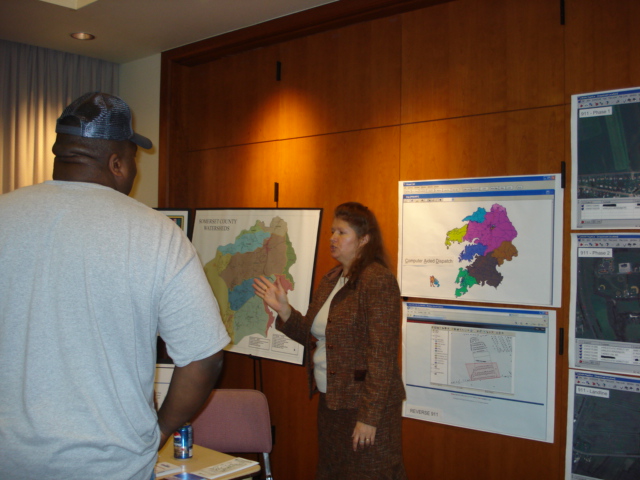
PRINCESS ANNE, MD-Discover and explore Geographic Information Systems (GIS) at the University of Maryland Eastern Shore Geospatial Information Technologies Laboratory’s second annual GIS Day on Wednesday, November 18, from 1-6 p.m. in the Richard A. Henson Center. Universities; local businesses; and local, state, and federal agencies will provide information and demonstrations.
Held in observance of the National Geographic Society’s Geography Awareness Week, November 16-20, GIS Day is a global event designed to educate adults and children about the versatile and powerful technology and its importance in our daily lives.
“Many people are not aware of it, but GIS touches our lives daily,” said Tracie Bishop, GIS program manager at UMES. GIS is used throughout the world in many different fields and applications such as: environmental applications, emergency services, health care, community planning, facilities management, precision agriculture, weather analysis, navigation, GPS, and military and police uses. This technology can also help businesses place ATMs and restaurants at more convenient locations, allow people to pull maps off the Internet and help farmers grow more crops with less chemicals.
The global observation of GIS Day, in its 11th year, is sponsored by the National Geographic Society, the Association of American Geographers, the University Consortium for Geographic Information Science, the United States Geological Survey, the Library of Congress, Sun Microsystems, Hewlett Packard and the Environmental Systems Research Institute (ESRI).
The UMES event is free and open to the public. For more information, contact Bishop by calling 410-651-6383, by email at tjbishop@umes.edu or by visiting www.umes.edu/GIS and clicking on events.
###
Gail Stephens, assistant director, UMES Office of Public Relations, 410-651-7580, gcstephens@umes.edu.