
Agricultural Disaster Recovery Projects:
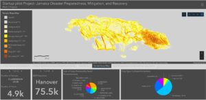
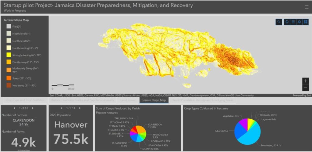
Use of Geospatial Technology and Community Intelligence in Developing Disaster Recovery Strategies: A Pilot Project Engaging U.S. and Caribbean Faculty and Students
Project Period: 2021-2022
Country/Region: Jamaica / Caribbean
Objectives: 1. Locate and map disaster and vulnerable areas and how the disaster is being responded to or mitigated. 2. Track urban/rural change of disaster impacts by identifying visible changes in residential areas. 3. Review zoning policies and regulations on the use of marginal lands for cooperative agriculture, urban gardening, and settlement for immediate response during disaster events. 4. Develop a dashboard using geospatial data collected from the above three objectives, which will show disaster-affected locations, infrastructure, open land, and farmlands to formulate disaster response plans.
Assessment of damage due to insect pests in cowpea crop using remote sensing techniques in southeastern US and Guyana ( Latin America)
Project Period: 2021
Country/Region: Guyana / Latin America
Objectives: 1. Building Partnership for Integration of Technology to Assess Damage due to Insect Pests in Cowpea Crop and Risk Management for Global Food Security in Southeastern US and Guyana (Latin-America). 2. Training will focus on Climate Smart Farming, Water Conservation, Cost-Effective Water Treatment, Increase Efficiency in Water Use and Adaptation to Drought.
Funding: USDA/NIFA
Principal Investigator (PI): Dr. Shobha Sriharan | Department of Agriculture
1890 University Name: Virginia State University
Expected Results: 1. Capacity building programs with partners supported. 2. Efforts initiated for management of pests by using technology to visually examine pest damage to cowpea crop. 3. Participants introduced to remote sensing technology for assessment of damage to plant parts. 4. A web-based platform training used as a development and capacity building tool for key pest monitoring technicians for risk assessment and management in US and Guyana.